Adding Battelespace Management Zones
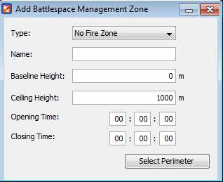
To implement a battlespace management zone in a call for fire mission it should be created initially. To do this the users need to navigate to Battlespace Management --> Add Battlespace Management Zone. After the ‘Add Battlespace Management Zone’ window is opened, enter the zone details.

∆ Image 10a: Adding Battlespace Management Zone |
Base Line Height: Baseline Height refers to the height from the sea level where the zone starts from. For instance if the Base Line height is given as 500m, the zone will be created 500 meters above from the sea level.
Ceiling Height: Ceiling Height refers to the height of the zone from the sea level.
Battlespace management zone type could be selected by the drop down list. This can be either a ‘No Fire Zone’ or a ‘Restricted Fire Zone’. After entering a name for the zone, base line height, and the zone height, the time for the Zone to be activated can be entered within the given text boxes.
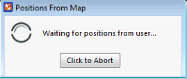
After entering the needed information click the ’Select Perimeter’ button, which will display a message saying ’Waiting for positions from the VBS2 map’.

∆ Image 10b: Cancelling Battlespace Management Zone Drawing |
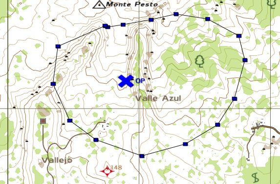
When the above window appears VBS2 will switch into the 2D map view. Then the user can click on the points of the area which needs to be listed as a No Fire Zone or a Restricted Fire Zone. Upon creation it will be listed in the Battlespace Management Zones window which can be found in Battle Space Management -- > Battlespace Management List.
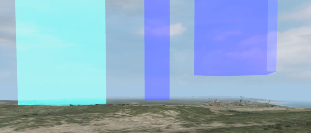
The zones which are created will be shown in the 2D map and the 3D view of the VBS2 Map as given below
Note:
While adding a Free, No Fire, or Restricted Fire Zone when the user clicks to create the points of the polygon, if the user double clicks on the 2D Map of VBS2 the object properties dialog box will pop up. The user will have to press the “ESC” button or navigate towards the “Cancel” key with the help of the keyboard to close this pop up box. Any mouse click will be taken as a point for the battlespace management zone polygon, which will not be seen clearly due to the object properties pop up box

∆ Image 10c: 2D Map View |
Note:
In a network scenario the battlespace management zones can only be drawn by the instructor. These Zone markers will not be visible to the trainees connected to the mission. The created battlespace management zones will also be shown in the AAR’s when recorded.

∆ Image 10d: 3D Map View |
